The Empty Land Myth: What a Blank Map Leaves Out
The empty land myth turns blank map space into a story of absence. Learn to read what maps omit, compare records, and separate visible clues from assumptions.
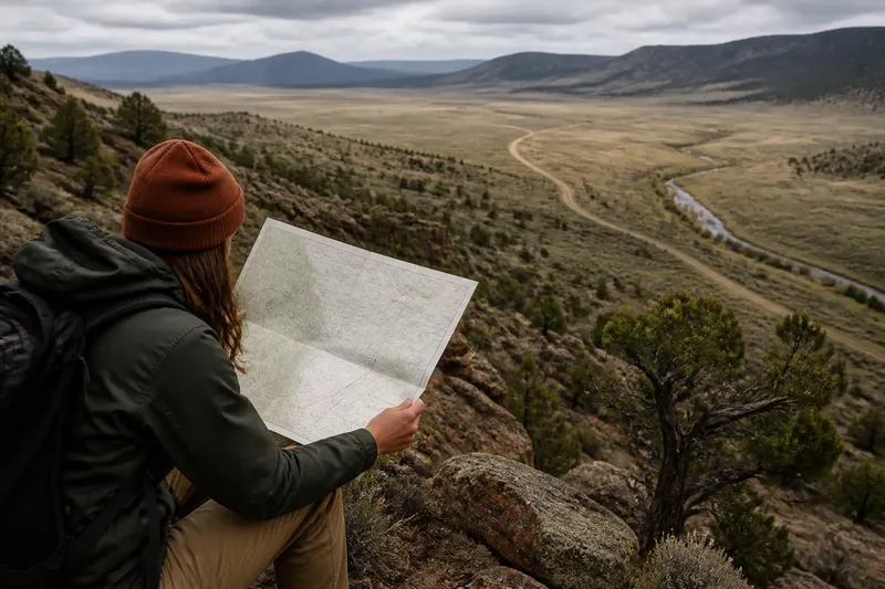
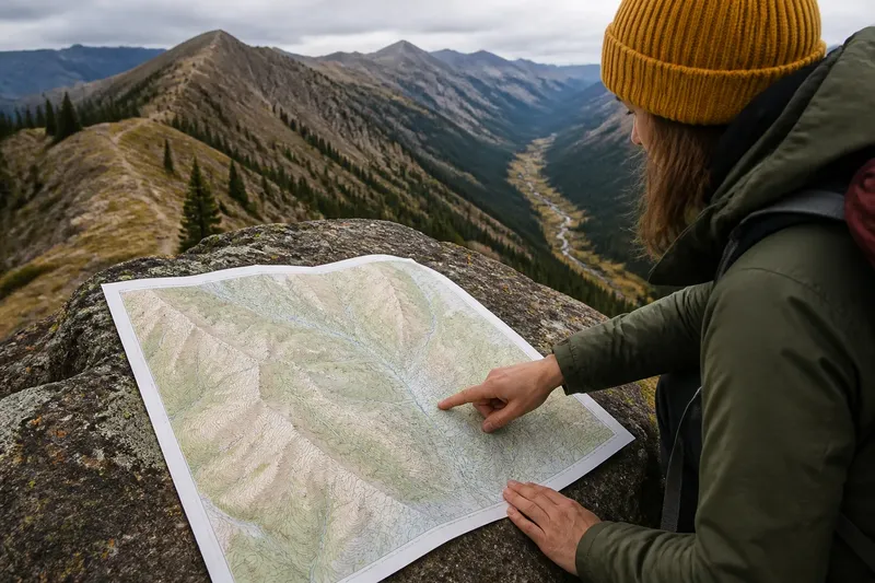
You unfold a road map at a trailhead and find a wide, pale patch beyond the last labeled road. The empty land myth begins when that blank is mistaken for proof that nobody uses the place. Maps select details for particular purposes; what they leave out can matter as much as what they print.
Map omissions
Every map has a job. A road map emphasizes connections useful to drivers, while a parcel map focuses on property lines. Neither is a complete account of a landscape or of the relationships people have with it.
Ask who made the map, what it was designed to show, and which symbols its legend includes. A map intended to guide visitors along public roads may omit a feature because it falls outside that purpose. The omission tells you about the map’s scope, not necessarily about the ground.
Scale also shapes what appears. A small spring, low wall, or faint track may be too subtle for a regional map. Even a detailed map can leave out temporary features, private infrastructure, sensitive places, or details its makers could not verify.
What records omit
Different records answer different questions. Topographic maps emphasize terrain and named features; parcel records show legal boundaries; aerial imagery captures visible conditions at a particular time. Management plans and local histories may describe activity that those other sources do not represent.
Compare records side by side, and write down what each one can and cannot establish. If a faint line appears in an aerial image but not on a public map, record it as an observed discrepancy—not proof of a trail, an access right, or a particular history.
Imagine you are reviewing a hypothetical map for a proposed public exhibit. The road map has no label for a narrow drainage, while an older local history mentions it as a place name. You check the map legend and the history’s context, then describe the drainage as unlabeled on the road map and named in that source; you do not infer ownership or invite visitors to enter it.
Built traces and uncertainty
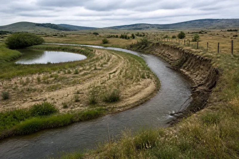
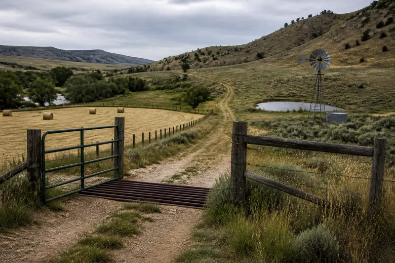
Buildings are only one kind of built trace. A stone enclosure, old foundation, lined ditch, or fence corner may show that people altered a place without making it look settled in the conventional sense. On imagery, traces can appear as faint shapes, lines, or changes in vegetation.
A visible feature may be an ordinary working structure, a remnant, or something culturally significant. Appearance alone cannot settle its meaning. It is not worth trying to identify every mark from a screen or turning a faint shape into a confident story.
Note only what is plainly visible, check whether an authoritative map or land record covers it, and avoid disturbing or publicizing sensitive places. If a feature may have archaeological or cultural significance, leave it in place and ask the responsible land manager or a qualified specialist for guidance.
Questions about blank maps?
Does blank space mean public land?
No. A blank area does not establish ownership or public access; boundaries and access rules may be shown on other records or omitted at that scale. Check the relevant land-management or parcel information before entering.
Can imagery reveal a place’s history?
Comparing images can show that visible features have changed or appeared at different times. Imagery alone cannot identify who made a feature, what it was used for, or what it means to local communities.
What should I do with an uncertain feature?
Record its visible form and location without treating an interpretation as fact. If it may be sensitive or culturally significant, do not disturb it or share its location publicly; contact the responsible authority or a qualified specialist.
Separate clues from claims
When you encounter blank map space, make a short record of what is printed, what is visibly present in other sources, and what remains unknown. Then check the map legend, the relevant land record, and any applicable access guidance before treating the space as somewhere to go.
The empty land myth loses its force when a map is read as a selective record rather than a verdict. A blank patch may hold a name, a feature, or a history that the map does not show; recognizing that omission is a reason to ask better questions, not to assume permission or invent an answer.