Reading Open Range and Fenced Fields Across a Working Landscape
Read open range and fenced fields through grazing routes, water access, and field edges to understand how one working landscape can support different uses.
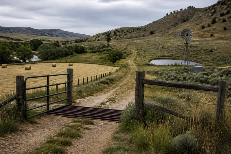
On a western valley road, a narrow gate opens onto a hay field while the hills beyond look unfenced. Reading open range and fenced fields starts with that contrast: it can reveal how people organize grazing, forage, and access across one landscape without showing the whole story.
Grazing without grids
Open range describes a grazing pattern in which livestock use broad areas without every pasture enclosed by a fence. The ground might be grassland, scrub, or open woodland, with animals moving between forage and water. That broad pattern does not mean land is ownerless or unmanaged.
Look instead for the infrastructure that supports movement: a stock tank, windmill, spring, corral, or ranch road. These features can make a large grazing area workable even when its boundaries are not obvious from a roadside view.
“Open range” can also refer to local rules about livestock and responsibility. Those rules vary by place, so an open-looking hillside does not tell a visitor whether livestock may enter a road or whether the land is accessible. Check local land-management information before entering or making assumptions about access.
Fields built around work
Fenced fields often reflect particular jobs rather than a neat, uniform plan. A boundary may keep cattle out of a hay meadow, separate crops, or give a rancher control over a watering point. Gates and cattle guards show where movement between those spaces is managed.
Long straight edges may align with a road, surveyed parcel, or irrigation ditch. Other boundaries bend around a creek, slope, or patch of workable ground. A fence is evidence of division or control, but its shape alone cannot tell you whether it marks ownership, pasture, or a temporary management choice.
Even a tidy field pattern can be layered. An older house or barn may sit beside a road that predates the present parcel grid, while later fences divide land around it. Comparing visible edges with roads, watercourses, and available parcel maps helps separate the pattern’s components.
Water sets the rhythm
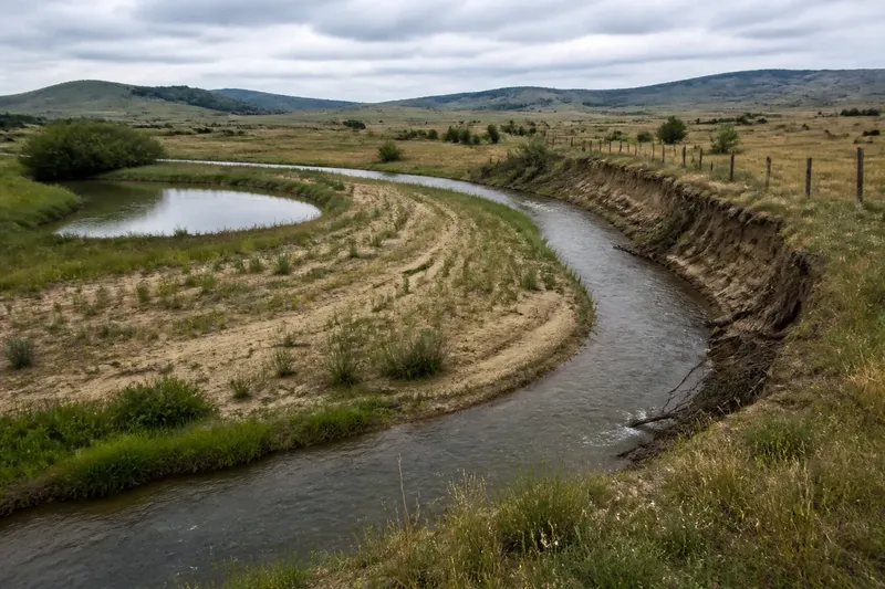
Water can organize both enclosed fields and wide grazing areas, though it does so differently from place to place. Irrigation ditches may support cultivated strips near a stream; a well or stock pond may serve animals across a much larger pasture. In either case, ask how routes connect land to water rather than assuming that every boundary follows a single plan.
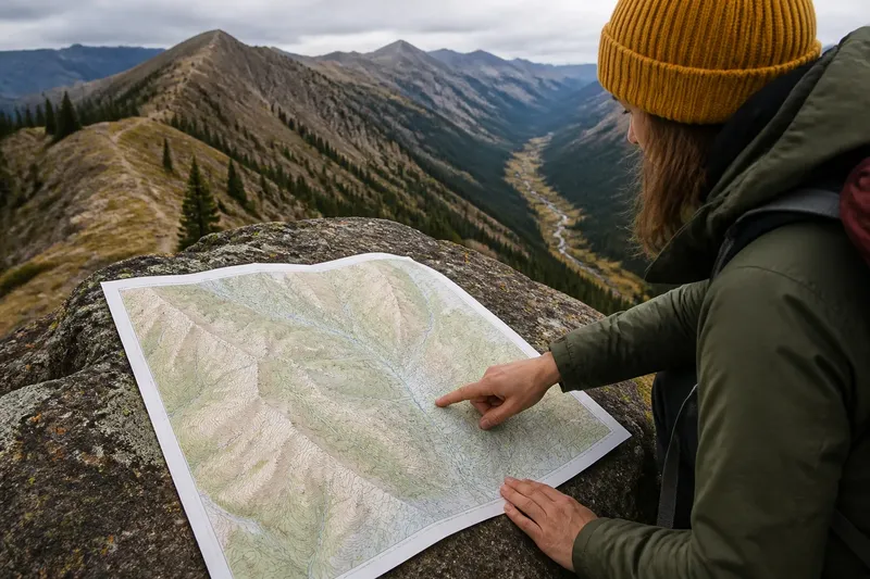
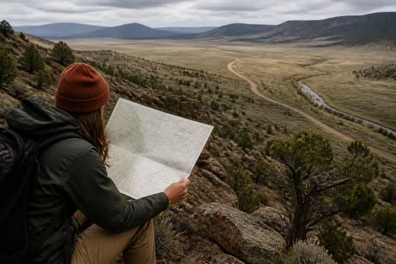
Imagine a hypothetical ranch with a fenced hay meadow beside a creek, a gate opening onto a ranch road, and a stock pond higher on the slope. The starting clues are the meadow fence, the gate, and the pond. Following the road on a map shows a connection between the meadow and the upland water point; the reasonable reading is that the property accommodates both protected forage and broader grazing, while ownership and grazing rights remain unconfirmed.
What is not worth the effort is assigning a precise date or purpose to every fence from one viewpoint. Aerial images, parcel maps, and records can help with specific questions, but a visible line alone rarely carries a complete history.
Mixed use, one place
Open grazing and fenced fields can coexist within a single holding or across neighboring properties. A ranch may protect hay or cropland while livestock use wider pasture elsewhere. The relationship between those areas is often clearer from their connecting roads, gates, and water points than from either field in isolation.
Changes in use can also soften the pattern. An old field may become less distinct as vegetation spreads across its edges, while newer fencing makes a formerly broad pasture look divided. If older aerial images are available, compare persistent features such as roads, buildings, and streams before drawing conclusions about what changed.
Questions readers ask?
Does a straight fence prove a property line?
No. It could separate pastures or crops, or follow a parcel edge. Compare it with mapped boundaries and nearby roads, and treat the purpose as unresolved unless local records support it.
Does open range mean anyone can enter?
No. The appearance of open land does not establish public access or grazing rights. Check local land-management information and posted signs before entering.
Why might a ranch fence only some land?
A ranch might fence a hay meadow or crop field to protect it while leaving other areas open for grazing. If a road, gate, and water point connect the spaces, that arrangement may reflect different working needs; it does not by itself establish who owns each area.
Can one map show which use came first?
Usually not. Compare maps or aerial images from different periods, looking for features that persist or shift, and consult records if dates or ownership matter.
Field clues and decisions
For a practical reading, note what you can see, then choose the next check based on that observation. These clues help keep the interpretation specific without turning a suggestive pattern into a claim about ownership.
- Fence alignment: If a fence follows a road or mapped parcel edge, compare the two; if they align, consider a boundary interpretation, but if they do not, check for an internal pasture or crop division.
- Gate or cattle guard: If a controlled crossing meets a ranch road, trace where the road leads; if it connects fields or water points, consider a managed livestock route, but if it ends at a public road, check access rules before proceeding.
- Water source: If a pond, spring, or well sits within broad pasture, note nearby tracks; if routes converge there, consider it a grazing focal point, but if no route is visible, leave its role open.
- Irrigation ditch: If a ditch borders cultivated ground, check whether field edges follow it; if they do, consider a water-related division, but if they do not, compare slopes and parcel lines instead.
- Building or corral: If a corral stands near a gate or road, trace the connecting route; if it links to open pasture, consider livestock handling as one likely function, but if the route is unclear, do not infer a specific use.
- Vegetation edge: If shrubs or a tree line follow a straight path, compare with older imagery; if the line persists, consider a former boundary, but if it shifts or fades, treat it as a natural or uncertain edge.
Open range and fenced fields are easiest to read as parts of a working system: one may provide room for grazing, another protect forage, and routes or water connect them. Keep the distinction between what is visible and what remains unknown, and a landscape’s pattern becomes more useful without pretending it answers every question.